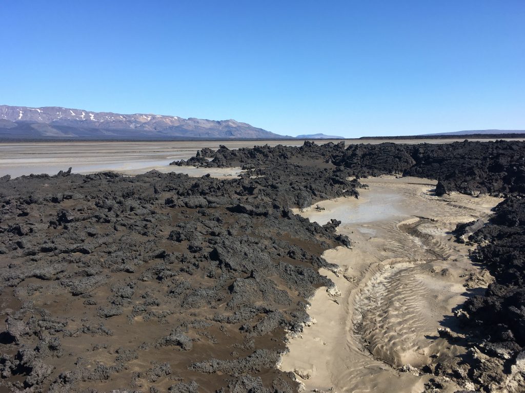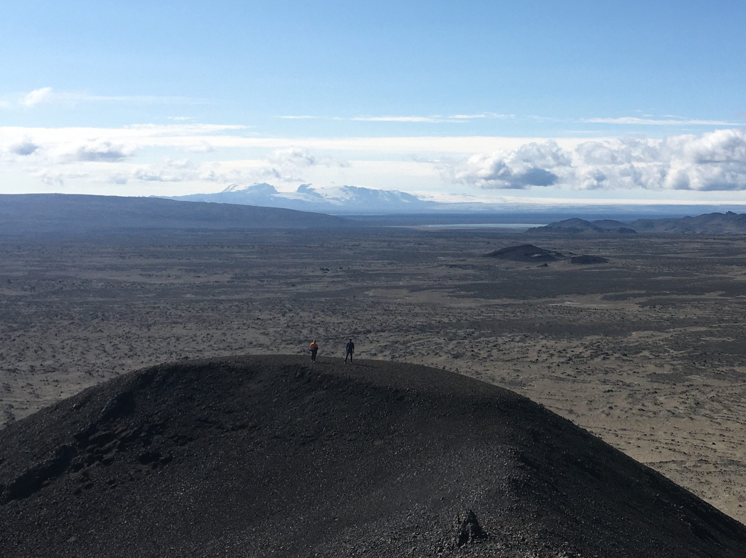
Will there be an answer in the end? Does the perfect dust spot exist? These are the main questions keeping our minds busy since the last three days. Although the Dyngjusandur area has seen quite a lot of dust and sand storms earlier in July, large parts are flooded or wet at least since we arrived end of July. We literarily can see how these spots will emit dust once dried up and wind is blowing, but when and where will this start? Having eventually identified four potential dust spots for our main measurement site (in-officially named “paradise”, “pond”, “shore”, and “island”), we now visit all places again and again at different times of the day ultimately trying to anticipate how the interplay between water, sediment deposition, crust forming and dust emission will work. It’s a challenge as the decision on the location of the main measurement site is key to the entire campaign. However, it’s a challenge we are ready to take – and to be honest, it’s exciting!

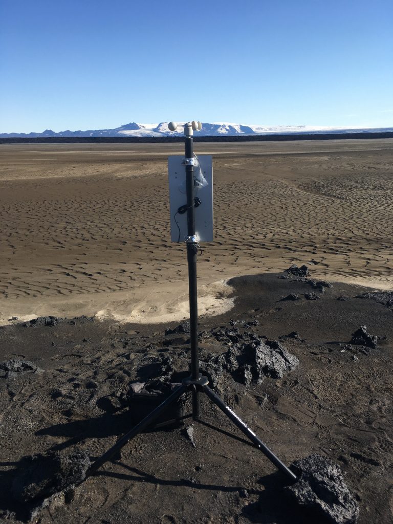
Regularly flooded or staying dry? This is one of the key questions that need to be answered before defining the spot for the main measurement site. The flood, caused by the glacier melt water discharge, occurs in the afternoon and evening. To see if, where, and how deep and how often the area will be flooded, we briefly considered staying in the source area the entire night, but eventually decided on mounting one of our OPC devices which has a camera. Hopefully, this will help us getting towards a decision on where the main measurement site will be mounted in the next days!

Besides the main measurement site, we will have smaller measurement sites scattered around the main site aiming at reflecting the conditions over a larger area. While exploring the area and visiting potential dust hotspots, we also check for potential locations where additional measurement devices shall be mounted. Eventually, we were able to identify them over the last few days.
